
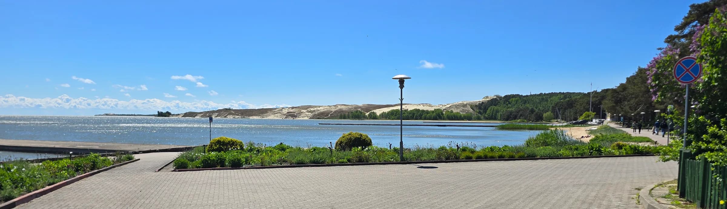
Neringa's centre
Nida
Neringa's largest settlement, where most visitors begin. You can explore it on foot in half a day, but without context much goes unnoticed.
Destination
A narrow strip of sand between the Baltic Sea and the Curonian Lagoon. In places the shores are less than a kilometre apart, yet more different than you might expect.
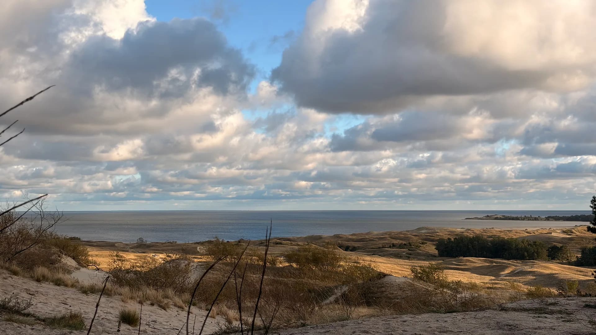
Lithuania's northern part of the spit has four settlements: Juodkrantė, Pervalka, Preila and Nida. Together they make up Neringa Municipality.
The Curonian Spit has been on the UNESCO World Heritage List since 2000 as a cultural landscape. This protects nature as well as the human work that sustained this place.
Settlements
Neringa consists of Juodkrantė, Pervalka, Preila and Nida. Each has its own story and rhythm. I have written about each one separately.
Neringa's centre
Neringa's largest settlement, where most visitors begin. You can explore it on foot in half a day, but without context much goes unnoticed.
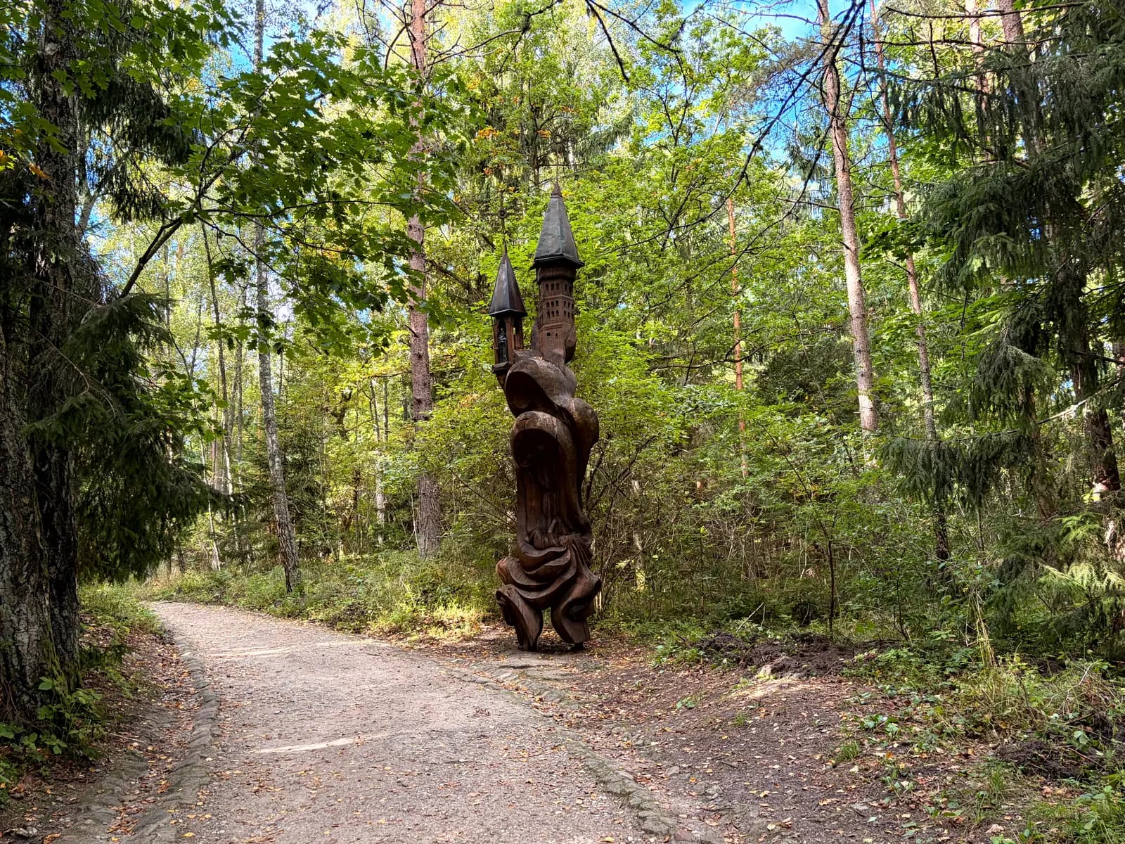
Northernmost settlement
The first settlement after the ferry from Klaipėda. Greener and more wooded than Nida, with more forest than sand.
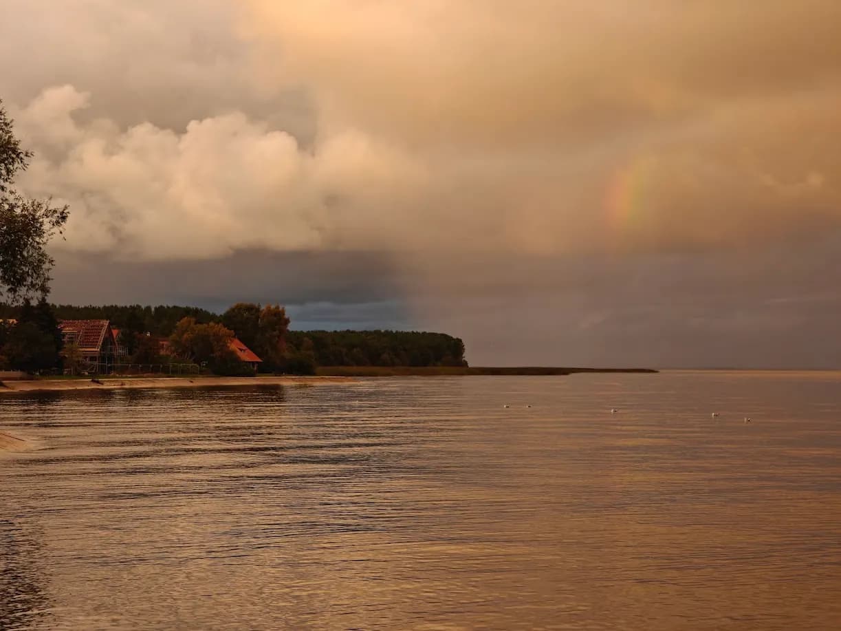
Quietest of the four
Preila is a small village between Pervalka and Nida, founded in the mid-19th century. It is ideal for a quiet walk by the lagoon and discovering the history of a fishing village.
Smallest settlement
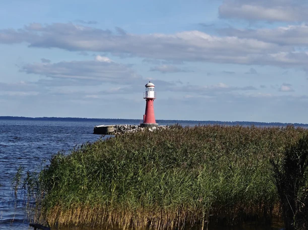
Neringa's smallest settlement. Nearby lie the grey, or dead, dunes, whose sands have already been covered by moss.
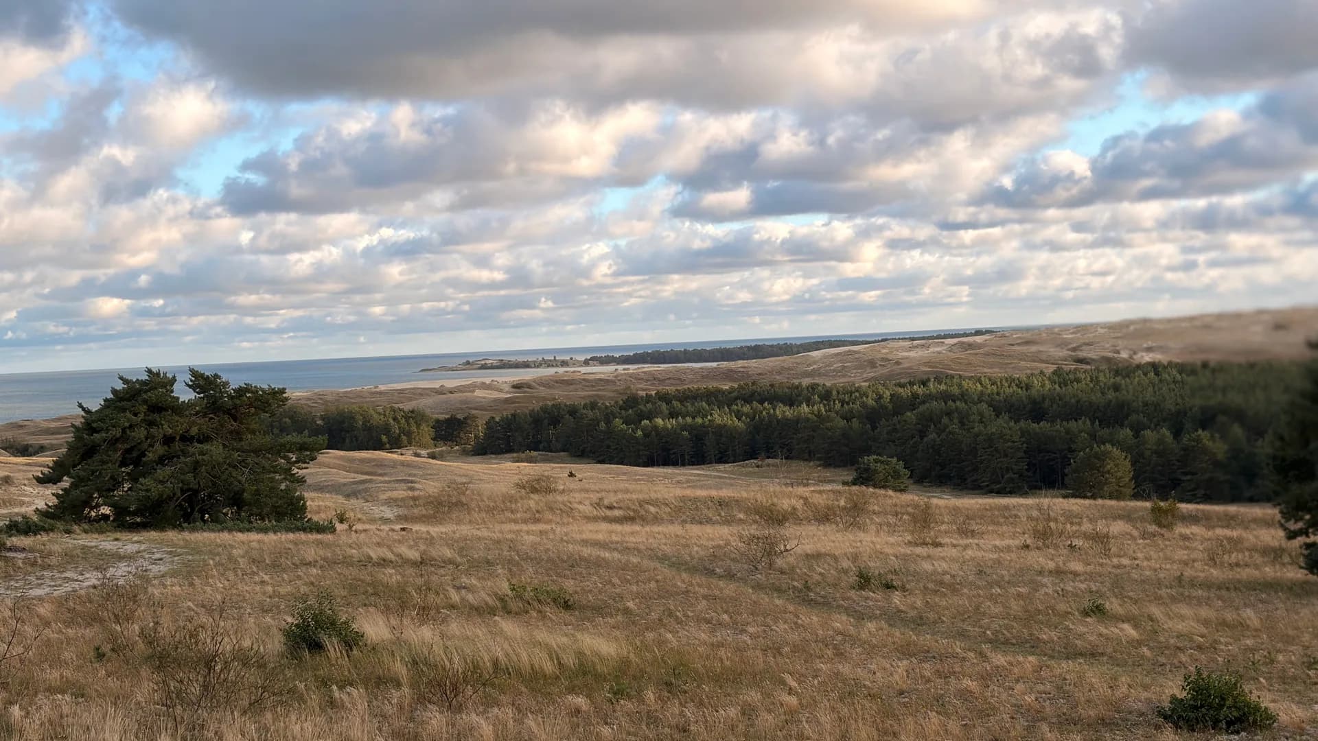
The dunes were not always a fixed landscape. In the 18th and 19th centuries they moved, burying entire villages and forcing residents to relocate. Systematic forest planting and a protective coastal dune ridge finally stopped their movement.
Most dunes are now strictly protected. Walking is allowed only on marked paths, because damaging the vegetation allows the sand to start moving again.
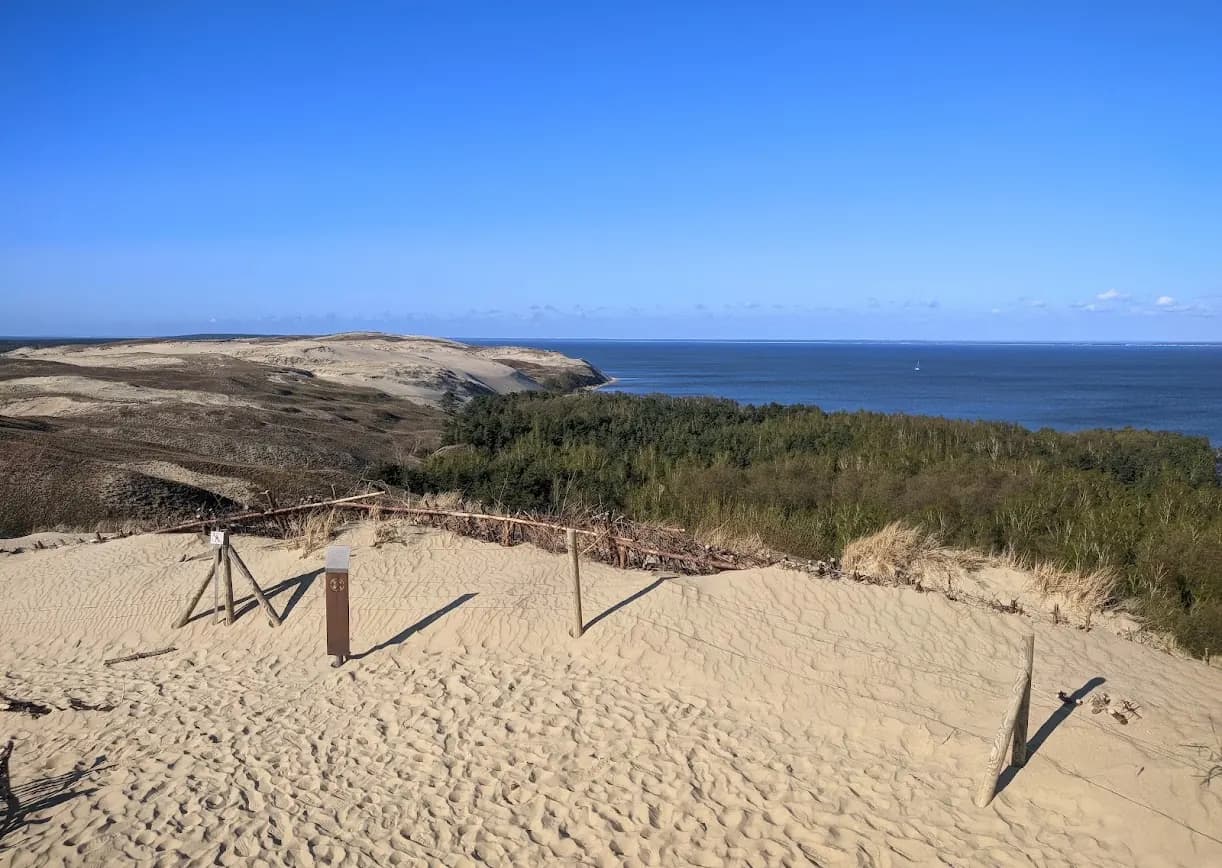
The lagoon is a freshwater body separated from the sea by the spit and fed by the Nemunas River. Its shallow water warms quickly, but wind brings short, sudden waves.
The lagoon side was always the working side: harbours, fishing, boats and trade. That is why settlements grew beside the lagoon rather than the sea.
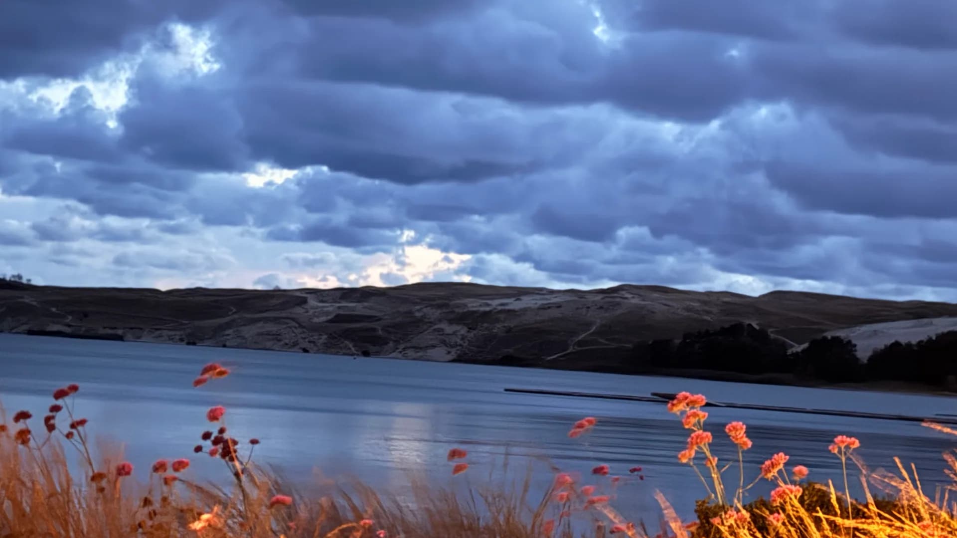
On the sea side lies a long, almost straight beach and a protective dune ridge sheltering the spit from wind and waves. Amber can be found here after storms.
The water stays cool even in midsummer. The swimming season is short, but walks along the shore are possible all year, and winter can be the most interesting time.
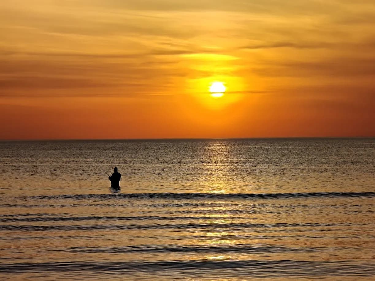
Most of the spit’s forest was planted. It was a long, difficult task lasting decades, without which the spit as we know it would not exist.
The pine forest is low, bent by the wind and very fragile. Fire is the most serious danger on the spit, so rules about open flames are strict.
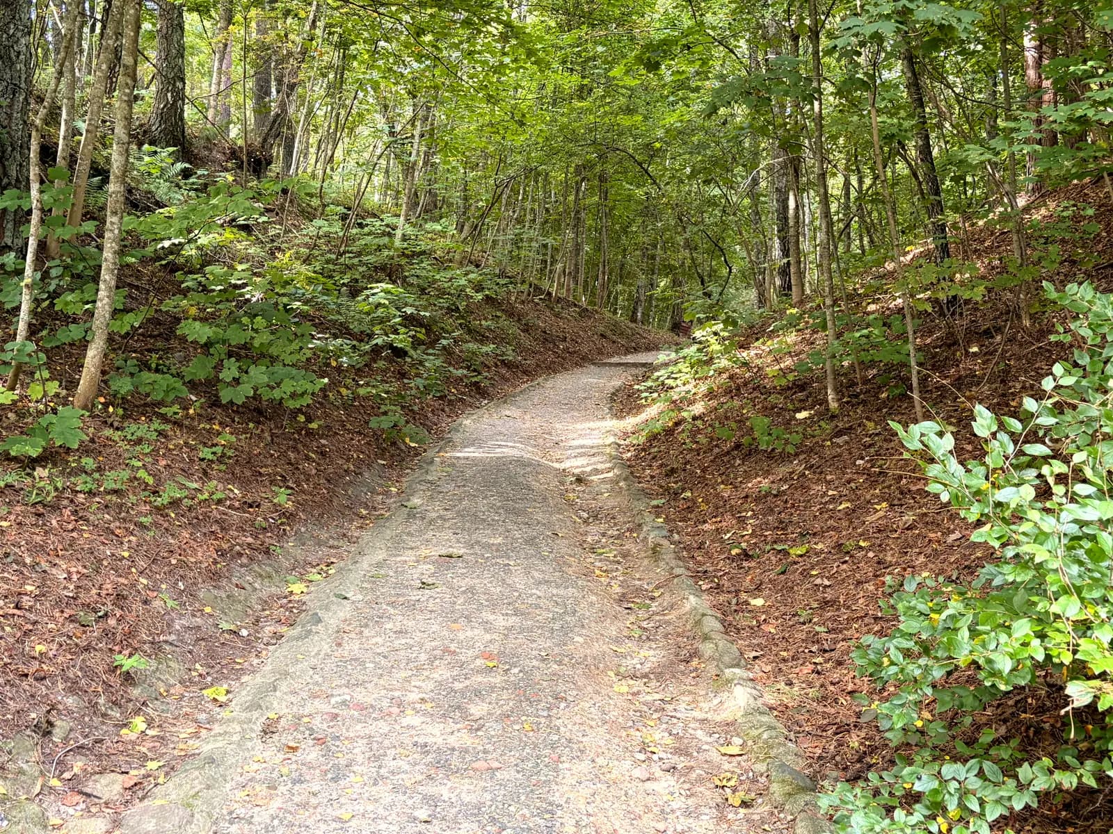
For centuries the Curonian Spit was home to the Kursenieki, a community with its own language, customs and relationship with water. After the Second World War the community largely disappeared, but traces remain in place names, cemeteries and buildings.
Two distinctive symbols are weather vanes, once used to identify a boat's home village, and krikštai, the wooden grave markers in old cemeteries.
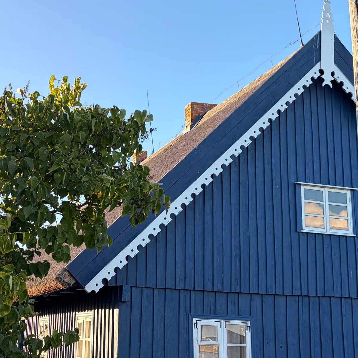
You reach the spit by ferry from Klaipėda to Smiltynė. Summer weekends bring queues at the ferry, so an early morning start helps.
An entry fee applies when driving into Neringa. Walking and cycling are easiest within the settlements; a cycle path runs along the spit.
The entire area is part of Curonian Spit National Park. Follow its visitor rules: stay on paths, do not light fires, damage plants or leave litter.
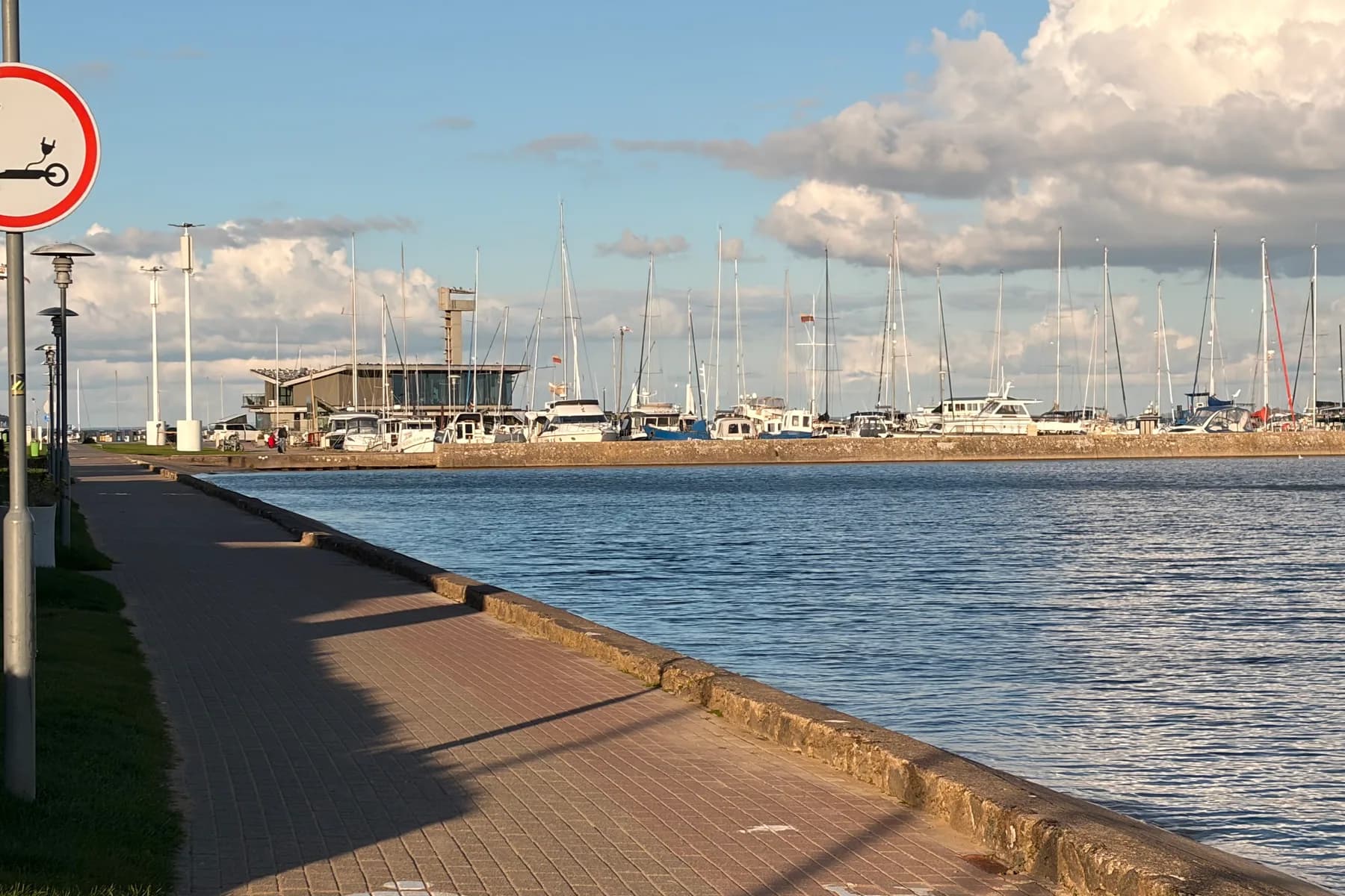
Tours
Reading about the spit helps, but many things look different in person.
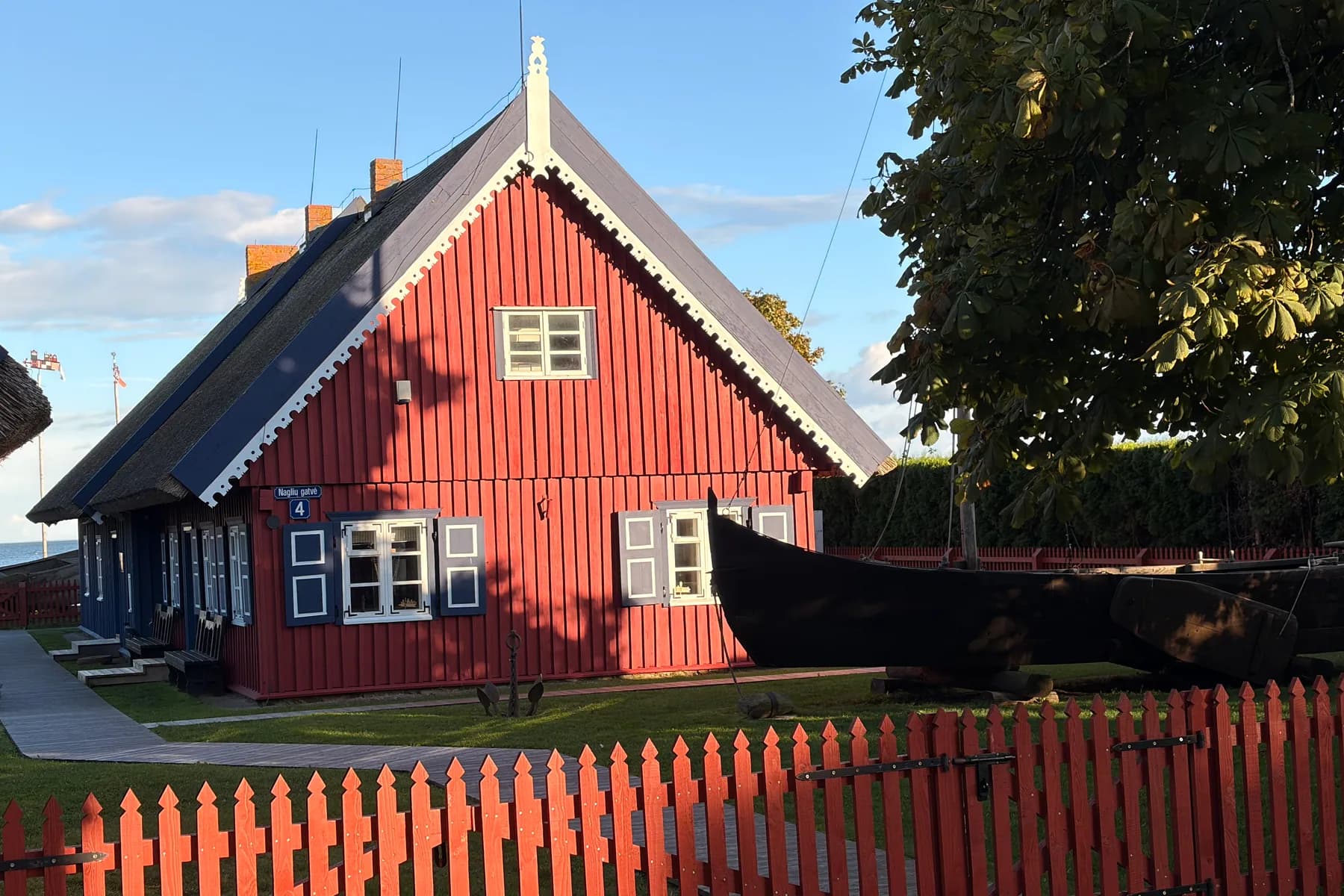
How sand changed the lives of Nida's residents, through documented history rather than legends.
Accessibility and physical effort: A walking route, partly on sandy paths and stairs up Parnidis Dune.
Short on time? We drive where we could not walk and stop wherever interests you.
Accessibility and physical effort: Most of the route is by car, making the tour suitable for people who find walking difficult.
Booking
Tell me when you are coming and how many days you have. I will check availability and suggest what can realistically fit into that time.
I reply within 24 hours